The Most Rugged Regions in the Zion National Park Area
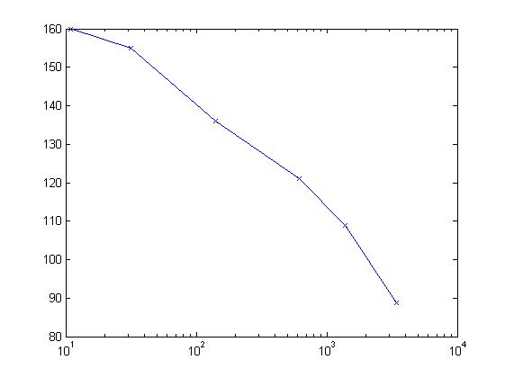
Domain relief and steepness (DRS) quantifies the ruggedness of a given region.
I applied DRS to the Zion National Park area in Utah to determine the most rugged
portions of that area with various given sizes. The results are given below in tabular form, with
each entry linking to a KML file for displaying the corresponding region in Google Earth or similar program.
All values are appproximate. Areas and DRS values should generally be accurate to within 5%, but I have not made a
detailed study of the accuracy of the calculations.
Here is a somewhat old explanation of ruggedness (now called DRS).
Acknowledgements: DRS is based on ORS; see the
main ORS page for the relevant acknowledgements. DRS itself was developed by
David Metzler and Edward Earl. All DRS calculations on these pages are by David Metzler.
Questions and comments welcome:
metzler (at) aa (dot) edu